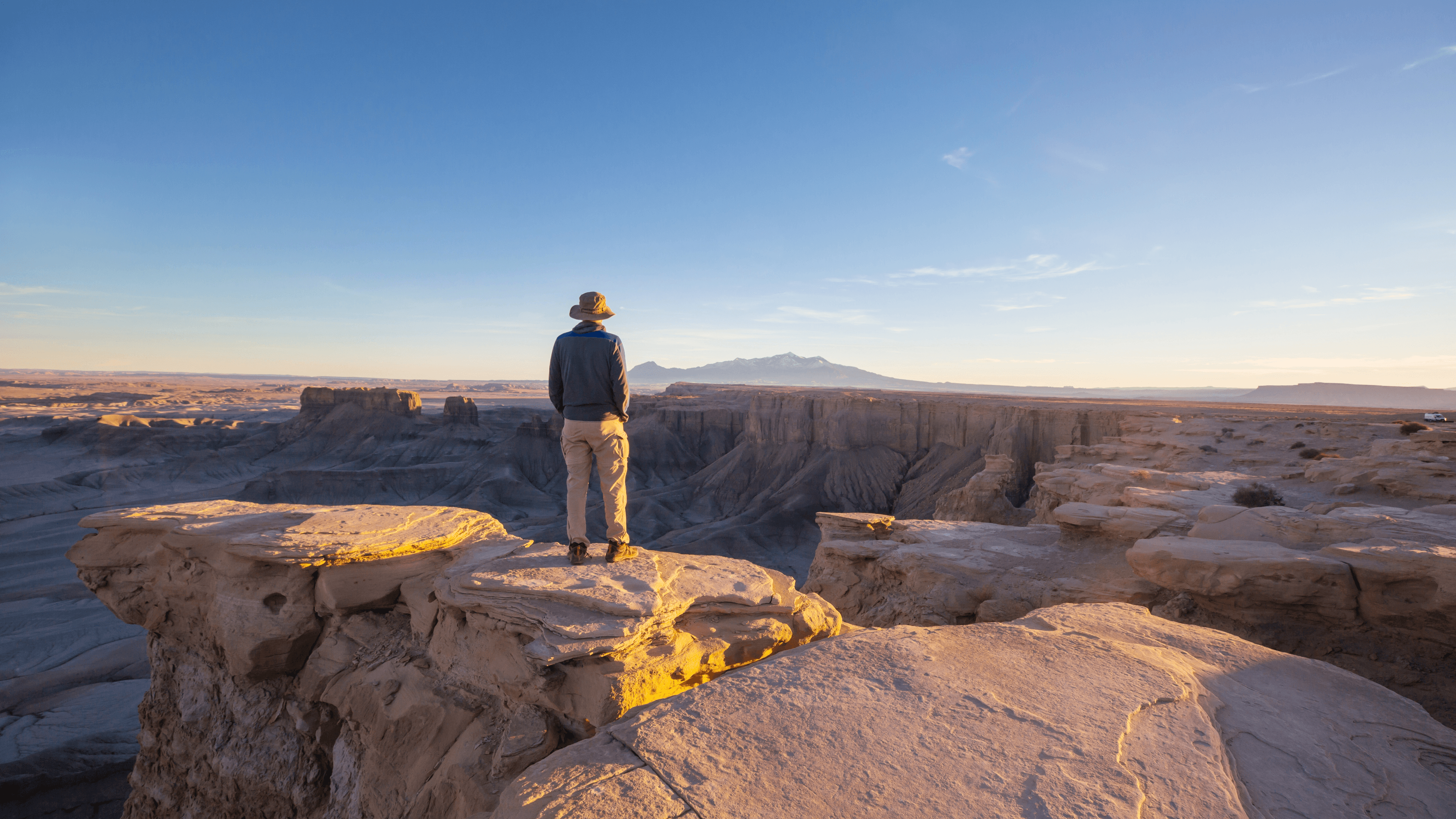
Utah's top trails by region and difficulty, with permit rules, gear advice, and a framework for turning individual trail picks into a multi-day trip.
Utah earns its reputation as one of the best hiking destinations in the country not because it has one great trail but because it has dozens spread across five national parks, millions of acres of canyon country, and terrain that ranges from desert slickrock to alpine ridgelines. Choosing the right trail means understanding what each one actually demands before you show up at the trailhead.
This guide covers standout trails across Utah's major hiking regions, what to expect from each, and how to turn individual trail picks into a coordinated multi-day trip.
In this guide
- Utah's Hiking Regions: What Each Offers
- Best Hikes in Utah by Difficulty
- What Makes Utah Hiking Different From Other States
- Planning a Multi-Day Utah Hiking Trip
- Permits: What You Need to Know Before You Go
- Gear Considerations for Utah Trails
- Choosing the Right Trail for Your Group
- Frequently asked questions
Utah's Hiking Regions: What Each Offers
Utah's trails don't cluster in one place. They spread across five distinct regions, each with a different character.
Southern Utah (Zion, Bryce, Grand Staircase) is where most first-time visitors go. The terrain is dramatic, the trails are well-maintained, and the crowds reflect that. Expect permit requirements on popular routes and shoulder-season windows that matter.
Canyonlands and Arches offer more solitude than Zion but less infrastructure. Water is scarce, distances between points are real, and the scale of the landscape can catch underprepared hikers off guard.
Capitol Reef sits between the two in terms of crowds and complexity. It rewards travelers who take the time to get off the main corridor.
The Wasatch Front near Salt Lake City gives you high-elevation trails close to a major city. These are the trails you do when you have a day, not a week.
The Uinta Mountains in northeastern Utah are the most underrated region in the state. High alpine lakes, long ridgeline routes, and genuine backcountry without the permit competition you face further south.
Best Hikes in Utah by Difficulty
Accessible Trails Worth Doing
Emerald Pools Trail, Zion National Park covers about 3 miles round trip to the upper pool with just under 700 feet of gain. The lower and middle pools are accessible to most hikers. It's a good introduction to Zion's scale without committing to a full-day effort.
Bryce Canyon Rim Trail runs along the canyon edge for up to 11 miles, but you can walk any section of it. The stretch between Sunset Point and Sunrise Point is the most visually rewarding for the least effort. The hoodoo formations are at their best in early morning light.
Delicate Arch Trail, Arches National Park is 3 miles round trip with about 480 feet of gain. The final stretch across open slickrock in direct sun is harder than the numbers suggest. Start early and bring more water than you think you need.
Intermediate Trails That Reward the Effort
Angels Landing, Zion National Park is the trail most people picture when they think of Utah hiking. The final half mile involves chains bolted into the rock face and a ridge so narrow that passing other hikers requires coordination. Permits are required and competitive, so plan well ahead.
The Narrows, Zion National Park takes you up the Virgin River through a slot canyon with walls rising hundreds of feet overhead. You hike in the river. Neoprene socks and a walking stick are not optional if you're going more than a mile in. Check water flow conditions before you go, and never enter when flash flood risk is elevated.
Peek-a-Boo Loop, Bryce Canyon drops into the canyon rather than staying on the rim. It's 5.5 miles with about 1,500 feet of cumulative gain, and the canyon walls close in around you in a way the rim trail can't replicate. Horses share this trail, so expect to yield.
Chesler Park Loop, Canyonlands (Needles District) is one of the best day hikes in the state that most people skip. About 11 miles through sandstone spires, open grassland, and narrow joint trails. The Needles district gets a fraction of the visitors that Island in the Sky does, and the terrain is more varied.
Harder Trails for Experienced Hikers
The Wave, Vermilion Cliffs National Monument requires a permit that ranks among the most competitive in the country. The hike itself is about 6 miles round trip across unmarked sandstone with no maintained trail. You navigate by landmark and by reading the terrain.
Havasupai Falls, Havasupai Tribal Land is technically in Arizona but sits close enough to Utah's southern border to belong in this conversation. The 10-mile hike in leads to turquoise waterfalls and pools. Permits are required and sell out months in advance. This trip needs serious lead time.
Zion Traverse (Zion-to-Bryce) connects Zion National Park to Bryce Canyon over roughly 50 miles of backcountry terrain. It requires multiple permits, water source knowledge, and solid navigation skills. This is not a route you figure out on the fly.
Kings Peak, Uinta Mountains is the highest point in Utah at 13,528 feet. The standard route from Henry's Fork trailhead is about 29 miles round trip with nearly 5,000 feet of gain. The approach is long and the summit ridge is exposed. It's a serious objective that rewards hikers who have done their homework.
What Makes Utah Hiking Different From Other States
The biggest variable in Utah is water. Most of the state is desert, and water sources that appear on maps are not always reliable. Carry more than you think you need, know where your next source is, and treat everything you collect.
Sun exposure is the second variable. At elevation in canyon country, there is often no shade. The difference between a 7 a.m. start and a 9 a.m. start on a summer day in Arches or Canyonlands is not trivial: it can be the difference between a good day and a dangerous one.
Permits are the third variable. Angels Landing, The Wave, The Narrows overnight, and Havasupai all require advance planning. Some permits open months ahead. Others use a lottery system. Showing up without one means turning around.
Planning a Multi-Day Utah Hiking Trip
Picking individual trails is the easy part. The harder work is sequencing them into a trip that makes geographic sense, accounts for driving time between parks, lines up permit windows, and matches your group's pace and skill level.
Southern Utah's parks are spread across a wide area. Zion to Bryce is about 90 minutes. Bryce to Capitol Reef is another 2 hours. Capitol Reef to Canyonlands adds another 2 hours from there. A week-long trip that tries to hit all five parks ends up spending a lot of time in the car unless you plan the driving legs deliberately.
A few frameworks that work:
Anchor on one park, day-trip from it. Staying in Springdale and using Zion as your base lets you reach Bryce, Grand Staircase, and Zion's own backcountry without moving camp every night.
Go north-south or south-north in sequence. Entering at Zion and working northeast toward Moab and Canyonlands gives you a logical route with minimal backtracking.
Match trail difficulty to the order of days. Starting with harder objectives when your legs are fresh and ending with easier trails as fatigue builds is a planning principle that sounds obvious but gets ignored more often than it should.
For a trip spanning multiple parks and trail types, the logistics connecting each day matter as much as the trails themselves. Where do you sleep between Zion and Bryce? Where do you refuel near Capitol Reef? Which trailheads require a high-clearance vehicle? These are the questions that turn a list of trails into a trip that actually works.
Xavier at xploreum.io takes your starting point, destination, travel dates, group size, skill level, and vehicle type and builds a day-by-day Xpedition with routed driving legs, trailheads, campsites, fuel stops, and meal stops organized into one interactive map. You can edit it, share it with your group, and open individual waypoints in your preferred navigation app. For a state as geographically spread out as Utah, having the whole trip in one place rather than scattered across five apps makes the planning considerably less painful.
If you're thinking about extending your Utah trip into a broader Southwest or national parks road trip, the guide to planning a national park road trip with an AI itinerary builder covers how to sequence multi-park trips with driving logistics in mind.
Permits: What You Need to Know Before You Go
Utah's most popular trails now require advance permits. Here's where to focus your attention:
- Angels Landing uses a permit lottery through Recreation.gov. Seasonal permits open months in advance; day-before permits release the evening prior to the hike date.
- The Wave uses a lottery system through the Bureau of Land Management. Both advance and day-before lotteries exist, but demand far exceeds supply.
- The Narrows (overnight) requires a backcountry permit from Zion National Park.
- Havasupai requires a tribal permit that sells out within minutes of opening. Watch the tribal website for release dates.
- Canyonlands backcountry requires a permit from the park for overnight trips.
Verify current requirements directly with the relevant land agency before your trip. Permit systems change, and information from travel blogs can be out of date.
Gear Considerations for Utah Trails
Utah's terrain punishes underprepared hikers in specific ways. A few things worth getting right before you leave the trailhead:
- Footwear: Slickrock trails reward sticky rubber soles. Wet Narrows hiking needs neoprene socks and a water shoe or sandal with traction. Trail runners work well across most Utah terrain; heavy boots are rarely necessary.
- Sun protection: A wide-brim hat, sun-protective shirt, and sunscreen rated for high UV exposure matter more here than almost anywhere else in the country.
- Water capacity: Carry at least 3 liters on any full-day hike in canyon country. A filter or purification tablets extend your range on routes with natural water sources.
- Navigation: Many Utah trails, especially in Canyonlands and on The Wave, are unmarked or lightly marked. A downloaded offline map and the ability to read it matters. The guide to reading a topographic map in the backcountry covers the fundamentals if you're newer to navigation.
If you're heading into Utah's backcountry for the first time or stepping up to a more demanding objective, the best backpacking trails in the USA for every skill level gives useful context on how Utah's routes compare to other destinations and what skill benchmarks matter at each level.
Choosing the Right Trail for Your Group
The most common planning mistake in Utah is choosing a trail based on photos rather than an honest read of the group's fitness, experience, and tolerance for exposure.
Angels Landing is visually spectacular and genuinely dangerous for anyone uncomfortable with heights. The Narrows is accessible in good conditions and hazardous in bad ones. Kings Peak is a long, high-elevation objective that requires solid fitness and navigation confidence.
Ask these questions before committing to a trail:
- What is the longest day hike anyone in the group has done in the last three months?
- Is anyone in the group uncomfortable with exposure or heights?
- What is the vehicle situation, and can it reach the trailhead?
- Are permits already secured, or is this trail only possible if permits are available?
Matching the trail to the group rather than the group to the trail saves trips from going sideways. For help thinking through which trails fit your specific group's skill level, budget, and available days, the best apps for hiking and camping trip planning covers the tools that experienced Utah hikers use to research and prepare.
Frequently asked questions
What is the best hike in Utah for first-timers?
The Emerald Pools Trail in Zion National Park is a strong choice. It's accessible, visually rewarding, and gives you a sense of Zion's scale without requiring a permit or technical skills. Bryce Canyon's Rim Trail is another good option if you want hoodoo views without descending into the canyon.
Do you need permits for most Utah hikes?
Not for most trails, but the popular ones require them. Angels Landing, The Wave, The Narrows overnight, and Havasupai all require advance permits. Day-use hiking in Arches, Capitol Reef, and most of Canyonlands does not require a trail permit, though timed-entry reservations for the parks themselves may apply during peak season.
What is the best time of year to hike in Utah?
Spring (April to early June) and fall (September to October) are the most reliable windows across southern Utah. Summer temperatures in canyon country regularly exceed 100 degrees Fahrenheit, making full-day hikes dangerous without very early starts. The Wasatch Front and Uinta Mountains are best in summer when snow has cleared from higher elevations.
How hard is Angels Landing?
The trail is rated strenuous. The first two miles are a steady switchback climb. The final half mile involves chains bolted into a narrow sandstone ridge with significant exposure on both sides. If you're comfortable with heights and have solid footing, it's manageable. If heights are an issue, the saddle before the chain section offers a good turnaround point with excellent views.
Can you hike in Utah without a high-clearance vehicle?
Many of Utah's most popular trails are accessible in a standard passenger vehicle. Some trailheads in Canyonlands, Grand Staircase-Escalante, and the Uintas require high-clearance or four-wheel drive, especially after rain. Check road conditions for specific trailheads before assuming a paved approach.
How do I plan a multi-day Utah hiking trip that covers multiple parks?
Start by identifying your permit-dependent objectives first, since those constrain your dates. Then build the driving sequence around them, grouping parks by proximity to minimize backtracking. Account for driving time between parks, overnight accommodations near each trailhead, and at least one rest or travel day between demanding hikes. Xavier at xploreum.io can build this kind of connected Xpedition for you, organizing driving legs, trailheads, campsites, and stops into one day-by-day plan with an interactive map.
What should I do if conditions change on a Utah trail?
Turn around. Flash floods in slot canyons, afternoon thunderstorms at elevation, and sudden temperature drops are real hazards in Utah. Check weather forecasts the morning of your hike, know your turnaround time before you start, and trust the decision to reverse course. No view is worth being caught in a canyon during a flood event.