
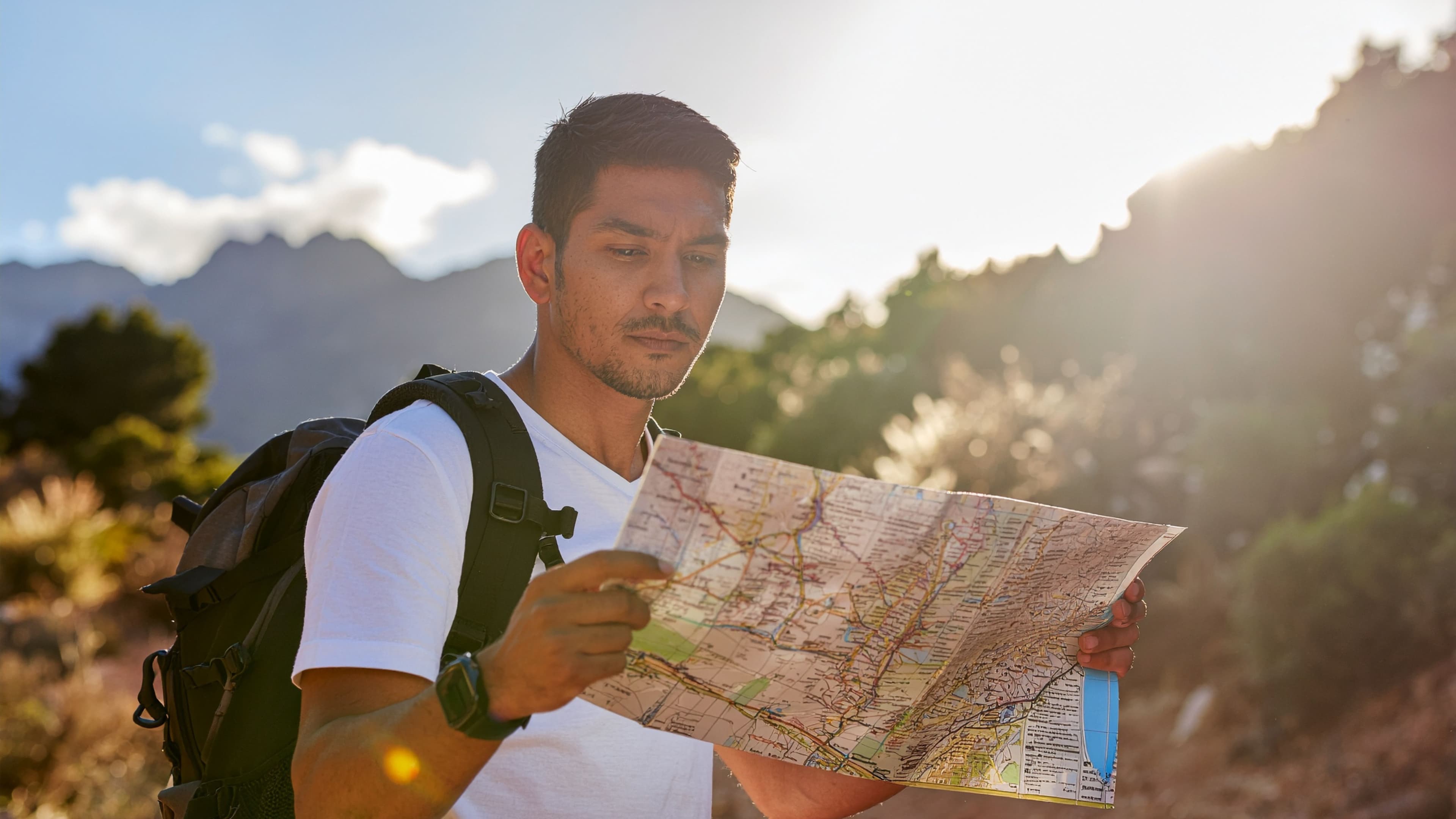
Most backcountry mistakes don't happen on the trail. They happen before you leave the trailhead, when you misread the terrain, or didn't read the map at all. A topographic map tells you things a phone app can't: how steep the climb really is, where the ridgeline drops into a drainage, whether that "shortcut" crosses a cliff band.
This guide walks you through how to read a topographic map, from contour line basics to practical navigation skills you can use on your next trip.
What a Topographic Map Actually Shows You
A standard trail map shows you where things are. A topographic map shows you what the ground looks like between them.
The difference is elevation data, represented through contour lines. Every line on a topo map traces a path of equal elevation. Cross one on the ground and you've gone up or down by a fixed amount, the contour interval, which is printed in the map legend. It varies by scale, but 40 feet (about 12 meters) is common for USGS 1:24,000 maps.
The map also shows water features, vegetation boundaries, roads, trails, and land management boundaries. Together, these layers give you a three-dimensional picture of terrain on a flat page.
Contour Lines: The Core Skill
Spacing Tells You Slope
This is the most useful thing to understand. Lines close together mean steep terrain. Lines spread apart mean gentle terrain. If they're nearly touching, expect a hard climb or a cliff.
Before any backcountry trip, scan your planned route for tight contour clusters. Those are the sections that will slow you down, demand more water, and require careful footing.
Shapes Tell You Landforms
Contour lines don't just show steepness. They reveal specific landforms:
- V-shapes pointing uphill indicate valleys or drainages. Water flows through the bottom of the V.
- V-shapes pointing downhill (or U-shapes) indicate ridges or spurs, the high ground between drainages.
- Closed circles or ovals indicate summits or hilltops. A small tick mark inside a closed loop means the interior is lower, marking a depression.
- Parallel lines that converge indicate a saddle or pass between two high points.
Learning to see these shapes is what separates someone who can glance at a topo and understand the terrain from someone who just follows the dotted trail line.
Index Contours and the Legend
Every fourth or fifth contour line is an index contour, printed darker and labeled with an elevation number. These are your reference points for calculating elevation gain or loss on a given segment. Count the lines between two index contours, multiply by the interval, and you have your elevation change.
Always check the legend before reading a new map. Contour intervals vary, and assuming the wrong one can make a 1,200-foot climb look like a 400-foot stroll.
Map Scale and Why It Matters
Scale is the ratio between distance on the map and distance on the ground. At 1:24,000, one inch on the map equals 24,000 inches, about 2,000 feet, on the ground. This is the standard for USGS 7.5-minute quadrangle maps and gives you enough detail for serious backcountry navigation.
Smaller-scale maps like 1:100,000 cover more ground but show less detail. They're useful for planning longer routes, not for navigating technical terrain.
For a multi-day backcountry trip, carry 1:24,000 maps for any areas where you'll be moving off-trail or through complex terrain. Use smaller-scale maps to understand the broader route context.
Grid, Coordinates, and Orientation
Orienting the Map
Before you start navigating, orient your map to the terrain. Hold it flat and rotate it until the map's north aligns with actual north, either by using a compass or by matching visible landmarks to features on the map.
A baseplate compass with a rotating bezel is the standard tool. Align the needle with the declination-adjusted north on your map and you're set.
Magnetic Declination
This trips up a lot of people. True north (the geographic North Pole) and magnetic north (where your compass needle actually points) are not the same. The difference is called magnetic declination, and it varies by location.
In the western United States, magnetic north typically sits 10 to 15 degrees east of true north. In eastern Canada, it can shift the other direction. Your topo map will show the declination for that area in the legend. Adjust your compass before you navigate.
Ignoring declination is how you end up a mile off course after a few hours of walking.
Reading Water Features
Water features are printed in blue. Solid blue lines are perennial streams. Dashed blue lines are intermittent, meaning they may be dry depending on the season.
That distinction matters. A resupply route crossing three "streams" in June might cross three dry channels in August. When you're planning a multi-day backcountry trip with campsites and resupply stops, water source reliability is one of the first things to verify, and the topo map is your starting point.
Lakes and ponds appear as filled blue shapes. Marshes and wetlands have their own symbol, usually horizontal lines with small ticks. Avoid camping in or near wetland areas, both for your comfort and to protect the ecosystem.
Identifying Terrain Hazards
A topo map won't label every hazard, but it shows you where to look:
- Cliff bands: Very tight or overlapping contour lines, sometimes marked with a specific cliff symbol on detailed maps.
- Steep drainages: V-shaped contours with tight spacing, especially in canyon terrain.
- Avalanche paths: Wide, open chutes on steep slopes above treeline, often visible as breaks in vegetation symbols.
- False summits: A series of closed loops that look like a single peak but reveal multiple high points on closer inspection.
Cross-referencing your topo with current conditions reports before you go is always worth doing. The map shows the shape of the land; conditions reports tell you what's on it right now.
Topo Maps and Digital Tools
Paper topo maps remain the most reliable backcountry navigation tool. No battery required, no cell service needed. Carry one on every trip.
That said, digital tools have made topos more accessible during the planning phase. Apps like Gaia GPS and CalTopo let you overlay topo data with satellite imagery, which helps you visualize terrain before you're standing in it. Understanding what the contour lines represent is still the foundational skill; the app just makes it easier to see the full picture.
For a broader look at what's available, the guide to best apps for hiking and camping trip planning covers how these tools fit into a complete planning setup.
Putting It Together: A Pre-Trip Topo Review
Before any backcountry trip, run through this sequence with your map:
- Identify your route and mark the start, end, and any planned campsites or waypoints.
- Check the contour interval in the legend so your elevation estimates are accurate.
- Scan for steep sections by looking for tightly spaced contour lines along your route.
- Identify water sources and note whether they're perennial or intermittent.
- Note the drainage patterns so you understand which way water, and you, would flow in an emergency.
- Check magnetic declination and adjust your compass before you leave.
- Look for alternative routes in case your primary path is blocked by terrain, weather, or conditions.
This review takes 20 to 30 minutes and builds a mental model of the terrain that no amount of real-time GPS tracking can fully replace. For the rest of what belongs in the pack on the day itself, see Hiking Essentials: What to Bring on Every Day Hike.
From Map to Xpedition
Reading a topo map sharpens your judgment in the field. But the planning work surrounding it (choosing campsites, mapping driving legs, identifying resupply points, organizing logistics) still takes hours when done manually across separate tools.
Xavier, the AI agent companion at xploreum.io, builds an Xpedition from a plain-language description of your trip, one day at a time, and you confirm each day before the next. The output includes driving legs, trailheads, dispersed campsites, resupply stops, and other logistics displayed on an interactive map. With Xplorer Pro, you can record existing booking details in the Xpedition's booking log so everything stays in one place.
If you're comparing planning tools before your next trip, the best AI trip planners for outdoor adventures in 2026 guide breaks down what's available and where each fits.
Topo skills and good planning tools aren't in competition. They work together. Know the terrain, then build a trip around it.
Turn what you read into a trip.
Bring the route, campsites, and stops together with Xavier.
Frequently asked questions
What is a topographic map and how is it different from a regular trail map?
A topographic map shows elevation changes through contour lines, giving you a three-dimensional picture of the terrain. A standard trail map shows the location of paths and features but doesn't convey how steep, rugged, or complex the ground is between them.
What do closely spaced contour lines mean on a topo map?
Closely spaced contour lines indicate steep terrain. The closer the lines, the more elevation change is packed into a short horizontal distance. Very tight or overlapping lines can indicate a cliff band.
What is magnetic declination and do I need to account for it?
Magnetic declination is the difference between true north and magnetic north. It varies by location and can be 10 to 15 degrees or more in parts of North America. If you don't adjust your compass for declination, your bearings will be off, and over a long route, that adds up fast.
How do I find water sources on a topographic map?
Water features are shown in blue. Solid blue lines are perennial streams that flow year-round. Dashed blue lines are intermittent and may be dry seasonally. Lakes and ponds are filled blue shapes. Always verify current conditions before relying on intermittent sources for backcountry water.
What map scale should I use for backcountry hiking?
The USGS 1:24,000 scale (7.5-minute quadrangle) is the standard for backcountry navigation. It provides enough detail to identify individual ridgelines, drainages, and terrain features. Smaller-scale maps like 1:100,000 work well for route overview planning but lack the detail needed for technical navigation.
Can I use a phone app instead of a paper topo map in the backcountry?
Digital apps are useful for planning and can display topo data with satellite imagery overlay. But paper maps don't require battery power or cell service, which makes them the more reliable choice in the field. Most experienced backcountry travelers carry both.
How long does it take to learn to read a topographic map well?
The core concepts (contour lines, slope reading, and landform identification) can be learned in an afternoon. Practical proficiency comes from using a map in the field and comparing what you see on paper to the terrain around you. A few trips with deliberate map practice builds the skill quickly.
Sources
- U.S. Geological Survey: Topographic Mapping booklet. Accessed October 5, 2026.
- U.S. Geological Survey: Why are USGS topographic maps called "quadrangles"?. Accessed October 5, 2026.
- U.S. Geological Survey: Topographic Map Symbols. Accessed October 5, 2026.
- NOAA National Centers for Environmental Information: Magnetic Declination. Accessed October 5, 2026.