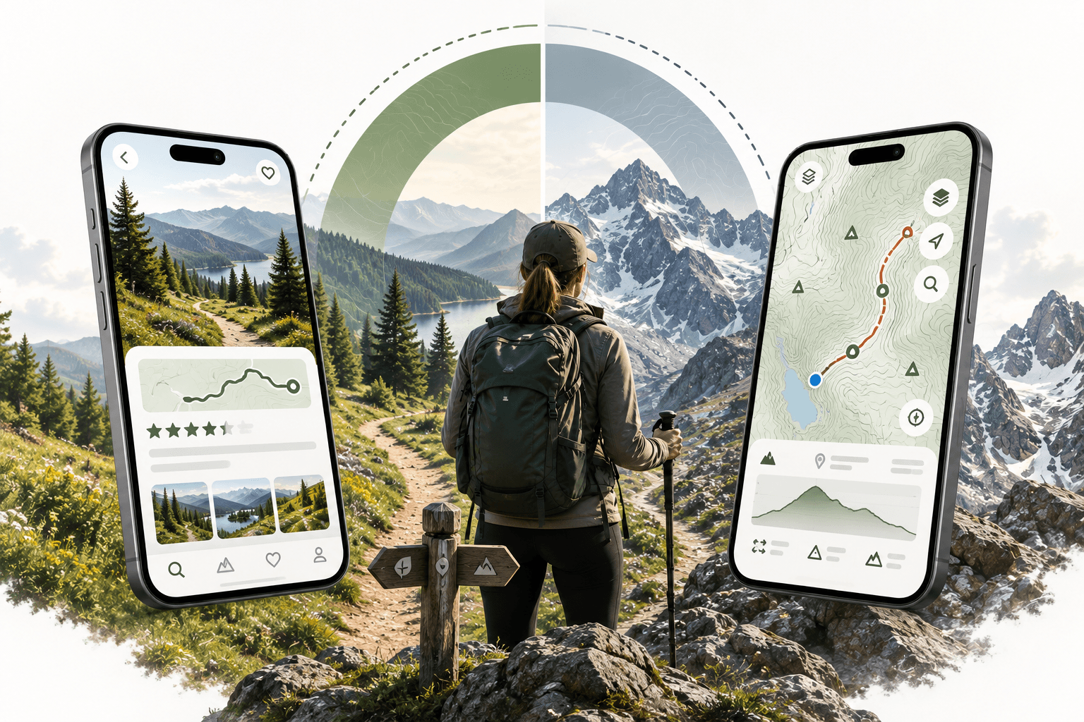
AllTrails is built for trail discovery and community reviews, Gaia GPS for serious backcountry navigation. Here is how to choose, and what neither app plans for you.
Both AllTrails and Gaia GPS are solid trail apps. Choosing between them in 2026 comes down to how you actually use a trail app in the field, not which one has the longer feature list. The AllTrails vs Gaia GPS question is really a question about your hiking style, your tolerance for complexity, and what you need when you're standing at a fork in the trail with no cell signal.
Here's the honest breakdown.
In this guide
- What AllTrails Does Well
- What Gaia GPS Does Well
- Head-to-Head: The Key Differences
- Which One Should You Use?
- What Neither App Handles
- The Honest Answer
- Frequently asked questions
What AllTrails Does Well
AllTrails is built around its trail database, and that database is its strongest asset: millions of trails with user-submitted reviews, photos, difficulty ratings, and recent condition reports. If you want to know whether a trail is muddy after last week's rain, or whether the waterfall at mile 4 is worth the extra climb, AllTrails has someone who hiked it recently and left a note.
The app is designed to be approachable. You can find a trail, read the reviews, download it for offline use, and be on the road in under ten minutes. That accessibility matters for day hikers, casual weekend adventurers, and anyone who wants to spend less time researching and more time outside.
AllTrails also handles route recording well. Track your hike in real time, share your progress with someone back home, and export your GPX file when you're done.
Where AllTrails Has Limits
AllTrails is trail-centric. It works well for established, named routes with a defined start and end. Move into cross-country travel, route-finding on unmarked terrain, or multi-day backcountry trips that stitch together several different trail systems, and the app starts to show its edges. The map layers are functional but not deep. You won't get the topographic detail or land-layer data that serious backcountry navigation requires.
What Gaia GPS Does Well
Gaia GPS is built for serious navigation. Its strength is the map layer system: USGS topo maps, satellite imagery, Forest Service roads, BLM land boundaries, slope angle shading, all layered into one view. For backcountry hikers, overlanders, hunters, and anyone moving through terrain that isn't on a named trail, that depth isn't optional.
Route planning works differently here too. You can plot a custom route across any terrain, not just existing trails. Import GPX files from other sources, sync routes across devices, and work with waypoints in a way that reflects how backcountry navigation actually works.
Offline maps are a core feature, not an afterthought. You can download large areas at high resolution before you leave cell coverage, which matters when you're three days into a wilderness trip.
Where Gaia GPS Has Limits
Gaia GPS has a steeper learning curve. The interface rewards time investment. If you're new to backcountry navigation or just want to find a good day hike near your campsite, the depth of the app can feel like more than you need. The community layer, trail reviews, and condition reports are thinner than AllTrails. You're working with map data and your own judgment rather than a crowd-sourced trail database.
Head-to-Head: The Key Differences
| Feature | AllTrails | Gaia GPS |
|---|---|---|
| Trail database and reviews | Strong | Limited |
| Topographic map depth | Basic | Extensive |
| Custom route planning | Limited | Strong |
| Land layer overlays | Basic | Extensive |
| Offline maps | Yes | Yes |
| Community trail conditions | Strong | Limited |
| Learning curve | Low | Moderate to high |
| Best for | Day hikers, casual trips | Backcountry, overlanding |
Which One Should You Use?
Use AllTrails if you primarily hike established trails, value community reviews and condition reports, want a fast and approachable experience, or are newer to hiking and want a tool that gets out of your way.
Use Gaia GPS if you navigate off-trail or on unmaintained routes, need detailed topo data and land boundary information, plan multi-day backcountry routes, or do any overlanding where road and land-access data matters.
Many experienced hikers use both: AllTrails for discovery and research, Gaia GPS for navigation in the field. That's not a workaround. It's a reasonable way to use two tools that are genuinely good at different things.
What Neither App Handles
Here's the part that doesn't show up in most AllTrails vs Gaia GPS comparisons: both apps are navigation tools. They help you once you've decided where you're going. Neither one helps you figure out how a multi-day trip fits together.
Getting to the trailhead takes a driving leg. That driving leg passes through a town where you need fuel and food. The campsite on night two requires a reservation. The trail on day three connects to a different trailhead than where you parked. There's a gear rental shop near the put-in that you should know about before you arrive.
Trail apps don't coordinate any of that. They're not designed to. You end up with AllTrails open on one screen, Google Maps on another, a campsite booking tab in your browser, and a spreadsheet somewhere that's supposed to hold it all together.
That coordination gap is what Xploreum is built for. Xavier, Xploreum's AI agent companion, takes your trip description in plain language and builds a day-by-day Xpedition (routes, driving legs, trails, trailheads, campsites, accommodations, fuel stops, meal stops, and activities) organized into one connected plan with an interactive map. It doesn't replace AllTrails or Gaia GPS. It builds the structure that connects everything else.
Individual waypoints open directly in your preferred mapping or navigation app, so trail navigation still happens in the tool you trust. Xavier handles the Xpedition around it.
If you're planning something more complex than a single-day hike, the best AI trip planning apps for backcountry hiking guide covers where tools like Xavier fit alongside navigation apps. For multi-day trips specifically, the AllTrails alternatives for campsite booking and resupply guide is worth reading. And for overlanders and expedition hikers who want a broader view of the tool stack, the top adventure planning tools for overlanders and expedition hikers guide covers how these categories fit together.
The Honest Answer
AllTrails and Gaia GPS aren't really competing for the same user. AllTrails is the right choice for trail discovery and community-backed route decisions. Gaia GPS is the right choice for serious backcountry navigation and terrain analysis. If your trips are getting longer, more remote, or more complex, you'll probably end up with both.
The harder question isn't which navigation app to use. It's how to turn a trip idea into a coordinated journey that accounts for everything between leaving your driveway and standing on that summit. That's a different problem, and it needs a different tool.
Frequently asked questions
Is AllTrails or Gaia GPS better for beginners?
AllTrails is more approachable for beginners. The interface is straightforward, the trail database is large, and community reviews help you understand what you're getting into before you start. Gaia GPS rewards experience and is better suited to hikers who already understand map reading and backcountry navigation.
Can I use AllTrails and Gaia GPS together?
Yes, and many experienced hikers do. A common approach is using AllTrails for trail research and community conditions, then importing or recreating the route in Gaia GPS for in-field navigation with richer map layers. They serve different parts of the same workflow.
Does Gaia GPS have trail reviews like AllTrails?
Gaia GPS has a community layer with some user-generated content, but it's thinner than AllTrails. If recent trail conditions and user reviews matter to your decision-making, AllTrails is stronger in that area.
Do both apps work offline?
Yes. Both AllTrails and Gaia GPS support offline map downloads. Gaia GPS lets you download larger areas at higher resolution, which matters for extended backcountry trips. Check each app's current subscription terms for offline map limits.
Which app is better for overlanding?
Gaia GPS is generally the stronger choice for overlanding because of its land boundary overlays, Forest Service and BLM road layers, and custom route planning. AllTrails is primarily a hiking trail app and doesn't cover vehicle-based exploration as well.
Neither app helps me plan the full trip. What does?
That's the gap Xavier at Xploreum is built for. It coordinates the complete Xpedition (driving legs, trailheads, campsites, fuel, meals, and activities) in one connected plan. You still navigate in AllTrails or Gaia GPS. Xavier handles everything around the trail.
What if my trip involves multiple trails and campsites across several days?
Multi-day trips with multiple trail segments are where trail apps start to show their limits as planning tools. They handle individual routes well but don't coordinate the logistics between them. Describe your trip to Xavier in plain language and it builds that structure for you, then lets you edit and refine it as plans change.