
Photo by Robby McCullough on Unsplash

Photo by Bret Lowrey on Unsplash

Photo by Carter Baran on Unsplash
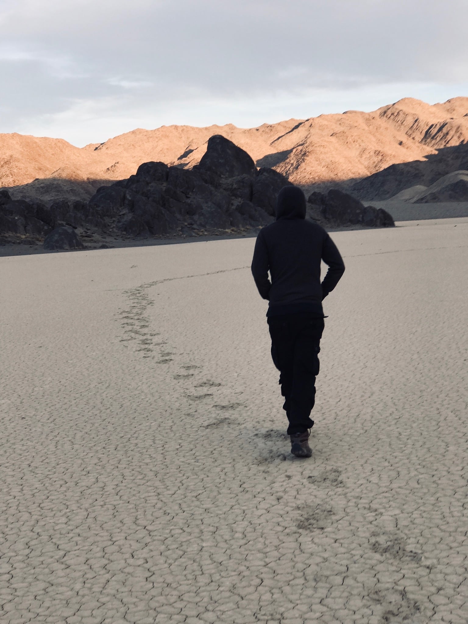
5 Days Death Valley Technical Loop: 4x4 Overlanding from Yosemite to Saline Valley and the Coast
This technical loop pairs a 4x4 Ford Bronco with a mix of overlanding and hiking across some of California's most remote terrain. Starting in San Francisco, the route climbs into Yosemite Valley, crosses the Sierra Nevada at Tioga Pass, then heads into the high desert to reach the towering Eureka Dunes. From there, the drive tackles the technical rock features of Dedeckera Canyon en route to the natural thermal pools of Saline Valley Warm Springs. A climb over Hunter Mountain delivers sweeping views before dropping into Furnace Creek and Death Valley proper. The final stretch traces the California coastline through Big Sur, with stops at Bixby Bridge and a relaxed finish in Carmel before returning north to San Francisco. Expect washboard roads, soft sand, remote dispersed camping, and a rewarding contrast between desert extremes and coastal scenery.
Built stop by stop, not written as an article.
Xavier starts with this location and helps you build your own version of the trip.
- Days
- 5
- Stops
- 34
- Driving
- 1,221 mi
- On foot
- 1 mi
- Overnights
- 5
- Level
- moderate
Published by Xploreum · August 2026
ARE YOU XPLORER MATERIAL?
The average Xplorer every year...
Sleeps outside 24 nights
Explores 1,800 miles
Covers 500 miles on foot, skis, bikes, boats and trails
Experiences a 120°F temperature difference
Discovers 18 new places
Does something for the first time 18 times
Sees the Milky Way 11 nights
Takes 6 people on their first adventure
Spends 240 hours away from notifications
Creates stories remembered for decades
The shape of it
How the route moves
5 days and 34 stops, covering 1,221 mi of driving, 1 mi on foot. Every distance comes from the route records behind this Xpedition.
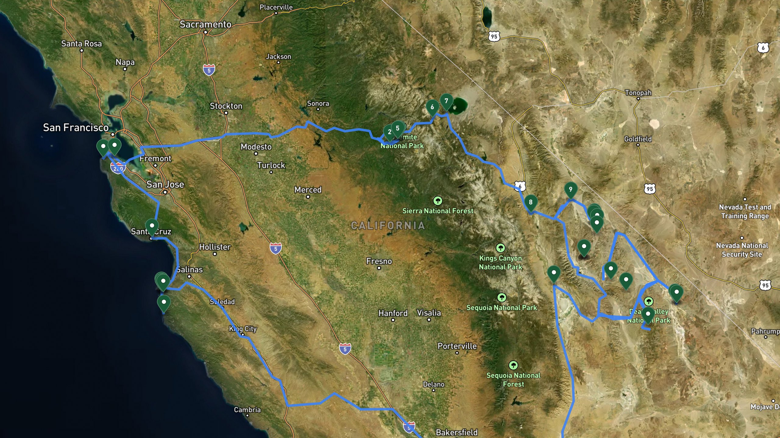
Route overview, not navigation
Stops are shown at place level. Each leg is coloured by the travel mode we infer from the stops at either end, then drawn along that network: blue for driving and magenta for walking. The mode is our inference, not a confirmed record of how the route was travelled. A grey dashed leg is one we could not route, shown as a straight overview instead. This is an overview of the route, not a turn-by-turn track, and it is not suitable for navigation.
The itinerary
Day by day
All 34 stops, free to read. Every day is editable once the route is yours.

Photo by Yang🙋♂️🙏❤️ Song on Unsplash
San Francisco to Yosemite Valley
- 199 mi drive
- Night: Yosemite Valley Lodge area lodge accommodations. Clean rooms close to trailheads.
The trip begins near San Francisco International Airport, where the vehicle is loaded before heading east toward the Sierra Nevada. After roughly 190 miles of driving, the route reaches Tunnel View, an iconic overlook with sweeping views of Yosemite's granite peaks and waterfalls. From there, a short scenic drive along the Yosemite Valley Loop passes beneath towering cliffs and past seasonal waterfalls before settling in for the night at a lodge in the Yosemite Valley Lodge area, close to nearby trailheads.
San Francisco International Airport areaDrive
Departure point. Load vehicle and head east toward the Sierra Nevada.
+190 mi along the route
Tunnel ViewViewpoint
Iconic valley viewpoint with views of major granite peaks and waterfalls. First stop in Yosemite area.
+7.5 mi along the route
Yosemite Valley LoopDrive
Scenic valley floor drive past granite cliffs and waterfalls.
+1.9 mi along the route
Yosemite Valley Lodge arealodge
Base lodge in the heart of Yosemite Valley area with accommodations and nearby trailheads.
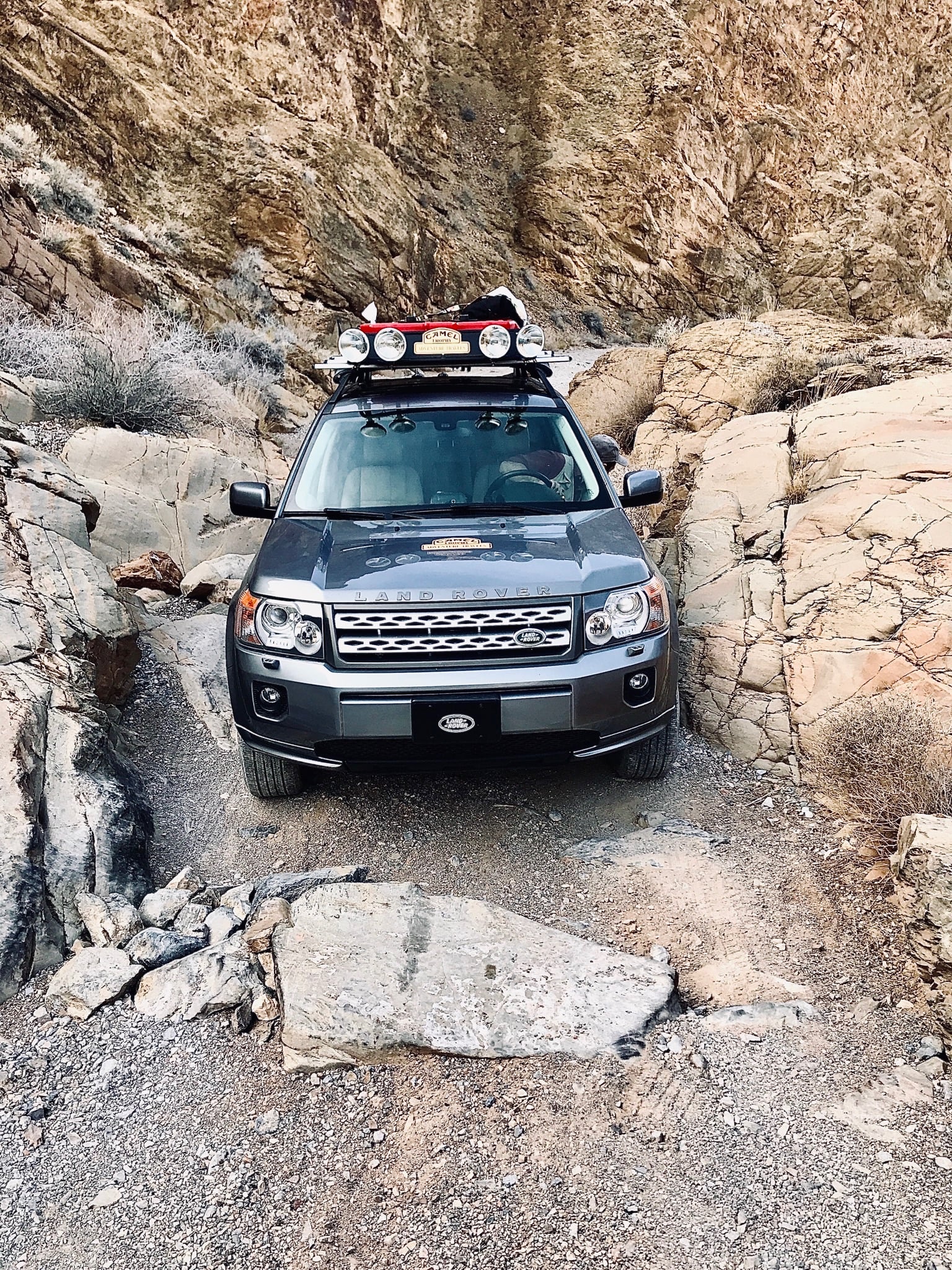
Tioga Pass to Eureka Dunes
- 199 mi drive
- 1 mi on foot
- Night: Eureka Dunes Dry Campground (dispersed)
Departing the valley lodge, the drive climbs east on a mountain road to Tioga Pass, the highest highway pass in California at 9,945 feet, offering final views of the Sierra crest. A quick fuel and supply stop follows near Lee Vining, the last services before a long stretch of remote travel. The route continues through the Big Pine area, the last town before remote road access, then turns south at a junction where pavement ends, heading toward Eureka Valley. After roughly 39 miles of remote road, the route reaches the base of the Eureka Dunes. A hike up the dunes, about 1 mile one-way with 680 feet of elevation gain through soft sand, rewards with sweeping desert views. The night is spent at dispersed BLM camping near the dunes, under exceptionally dark, starry skies.
Yosemite Valley Lodge arealodge
Morning departure from valley lodge. Pack out and head east on mountain road toward high desert pass.
+34.8 mi along the route
Tioga PassViewpoint
Highest highway pass in California at 9,945 feet. Final views of the Sierra crest.
+8.7 mi along the route
Lee Vining area fuel stopfuel
Last fuel and services for significant distance. Fill tanks and obtain supplies for remote travel.
+83.9 mi along the route
Big Pine areaDrive
Mountain town at the base of high peaks. Last services before remote road access.
+32.3 mi along the route
Death Valley Road JunctionDrive
Turn south onto remote road toward Eureka Valley. Pavement ends here.
+38.5 mi along the route
Eureka Dunes areaDrive
Remote BLM dispersed camping area at the base of tall sand dunes.
+1 mi along the route
Eureka Dunes SummitHike
Climb the dunes. 1 mile one-way with 680 feet of elevation gain through soft sand.
+1 mi along the route
Eureka Dunes area camplodge
Return to dispersed camp for the night. Exceptional starry night skies.
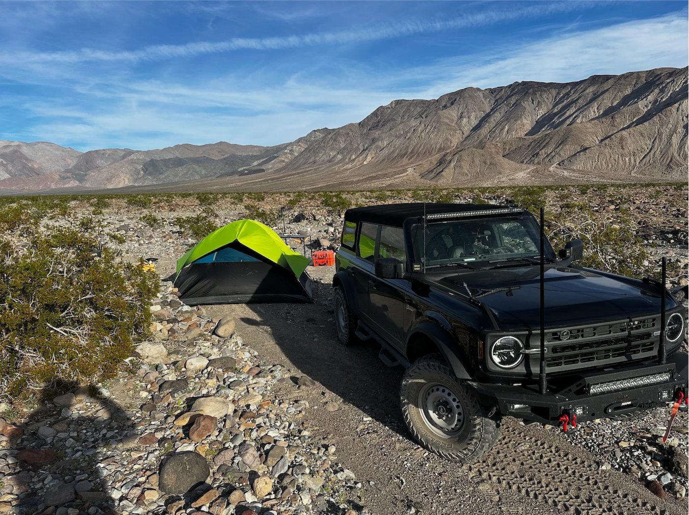
Dedeckera Canyon to Saline Warm Springs
- 29.8 mi drive
- Night: Saline Warm Springs (dispersed)
After breaking camp, the vehicle is prepped for technical terrain ahead. The route enters Dedeckera Canyon from the north, beginning a technical descent through narrow rock-lined terrain, and exits about 6 miles later onto a connecting road once the canyon's rock features are behind. From there, a rough washboard mountain road descends roughly 19 miles into the remote Saline Valley, home to natural thermal warm springs. Multiple natural pools offer a chance to soak in this remote desert setting. The night is spent at dispersed camping near the springs, again under remarkably clear night skies.
Eureka Dunes camp arealodge
Break camp and prepare vehicle for technical terrain driving ahead.
+5 mi along the route
Dedeckera Canyon North EntranceDrive
North entrance to canyon. Begin technical descent through narrow terrain.
+5.6 mi along the route
Dedeckera Canyon South ExitDrive
Exit canyon onto connecting road. Technical section with rock features complete.
+19.3 mi along the route
Saline Valley Warm Springs areaDrive
Arrive at thermal springs area via mountain road. Rough washboard descent into remote valley.
Saline Valley Warm Springsactivity
Natural thermal springs in remote valley setting. Multiple natural pools available for soaking.
Saline Warm Springs camp arealodge
Dispersed camping near thermal springs area. Remote natural setting with exceptional night skies.

Photo by Urip Dunker on Unsplash
Hunter Mountain to Furnace Creek
- 95.7 mi drive
- Night: The Inn at Death Valley
Leaving the warm springs camp, the route begins climbing out of the remote valley toward Hunter Mountain Summit, reaching 7,450 feet with panoramic views across the Death Valley basin and surrounding mountain ranges. The road then descends the eastern slopes via Panamint Valley Road toward the Death Valley floor. After roughly 45 miles, the route reaches the Furnace Creek Visitor Center area, the park's headquarters with maps and ranger resources. The day ends at The Inn at Death Valley, a historic property with a spring-fed pool, dining facilities, and valley views.
Saline Warm Springs camp arealodge
Break camp and prepare for the climb out of remote valley.
+32.3 mi along the route
Hunter Mountain SummitViewpoint
7,450 feet elevation. Panoramic views across Death Valley basin and surrounding ranges.
+17.4 mi along the route
Panamint Valley RoadDrive
Descend eastern mountain slopes toward Death Valley floor.
+44.7 mi along the route
Furnace Creek Visitor Center areaDrive
Park headquarters area with visitor information, maps, and ranger resources.
+1.2 mi along the route
The Inn at Death Valleylodge
Historic inn with spring-fed pool, dining facilities, and valley views.

Death Valley to Carmel via Big Sur
- 580 mi drive
- Night: Carmel area inn
Checking out from The Inn at Death Valley, the route begins a long westward drive toward the California coast. It climbs to Towne Pass at 4,956 feet, offering final views back into the Death Valley basin, then continues to a fuel and supply stop in the Lone Pine area, the last services before the coastal route. From there, the drive covers a long stretch, roughly 256 miles, to reach Bixby Bridge, an iconic concrete arch bridge and classic coastal photo stop on the way into Big Sur. The route continues to a coastal inn in the Carmel area, with an evening walk to a nearby white sand beach to take in coastal views at sunset before returning to the inn for the night. Total driving for the day covers about 580 miles.
The Inn at Death Valleylodge
Check out and begin the long drive west toward the California coast.
+36 mi along the route
Towne PassViewpoint
4,956 feet elevation. Final views back into Death Valley basin during ascent.
+54.7 mi along the route
Lone Pine area fuel stopfuel
Fuel and supplies at mountain town location. Last services before coastal route.
+256 mi along the route
Bixby BridgeViewpoint
Iconic concrete arch bridge on coastal highway. Classic coastal photo location.
+17.4 mi along the route
Carmel area innlodge
Comfortable inn in coastal village. Walking distance to town center and shoreline.
+1.2 mi along the route
Coastal BeachViewpoint
White sand beach and coastal views. Walk the shoreline at sunset before dinner.
+1.2 mi along the route
Carmel area innlodge
Night at coastal village inn. Walking distance to dining and shops.

Photo by Elvis Spaddy on Unsplash
Carmel to San Francisco via the Coast
- 118 mi drive
The final day departs the Carmel area inn heading north along the coastal highway. A stop in the Santa Cruz area beach town offers a chance for refreshments and shoreline views, followed by a stop in the Pacifica area to take in coastal cliffs and scenic overlooks, the last ocean views before returning to the city. The trip concludes with a return to the San Francisco International Airport area, marking the end of the expedition.
Carmel area innlodge
Check out and head north on coastal highway toward San Francisco area.
+43.5 mi along the route
Santa Cruz areaDrive
Beach town. Stop for refreshments and shoreline views.
+59 mi along the route
Pacifica areaViewpoint
Coastal cliffs and scenic overlooks. Last ocean views before returning to urban area.
+15.5 mi along the route
San Francisco International Airport areaDrive
Return to airport. End of expedition.
5 days does not quite fit?
Take this route as your starting point and reshape it around your dates, your pace, and the stops you care about most.
WHAT XPLORERS ARE SAYING
I discovered Xploreum yesterday while searching for an app to plan a road trip to Newfoundland and Labrador. The conversational approach allows us to pinpoint exactly our needs and expectations and build an ideal itinerary. Highly recommended!
I took a look at the program and found it quite cool to use. I did not give it a lot of prompts and it gave me a really neat place to hike in my home state. I think it works really well.
I’m sitting and planning summer vacation trips. This year, Christian and I are going on a road trip, most likely to Eastern Europe. That also gives me a reason to tell you about this insanely cool AI model. Xploreum.io has developed a model that can help you find the coolest places that aren’t touristy, and it can actually put together an entire trip for you. It’s insanely smart. Not an ad. Just a genuine recommendation.
Before you go
What this route assumes
Only the fields this route actually holds data for.
Where you sleep
Overnight areas in route order: Yosemite Valley Lodge area lodge accommodations. Clean rooms close to trailheads., Eureka Dunes Dry Campground (dispersed), Saline Warm Springs (dispersed), The Inn at Death Valley, Carmel area inn. Xavier pairs each with live lodging options once the route is yours.
Vehicle
Built as a 4x4 ford bronco route, overlanding and hiking. Xavier adapts it to what you actually drive.
Level
Paced for moderate travelers. Days can be split or merged to change the load.
How this Xpedition was built
Assembled from structured route and waypoint records, not written as an article, and reviewed before publication. Confirm conditions, closures, and permits before you travel.
- Route structured
- Distances calculated
- Reviewed before publication
- Published August 2026
More Xpeditions
See all
5-Day Itinerary: NYC to Niagara Falls, Ontario
This 5-day trip flies from the southern USA into New York City for a night of sightseeing and Broadway, takes the train to Buffalo, then drives into Niagara Falls, Ontario for two full days of gorge hikes, waterfall tours, wine country, and maple syrup tasting before returning home.
Major Airport - Southern USANiagara Falls Canada AccommodationHome
5 days3,751 km driving47 stopsmoderate

3-Day Road Trip Itinerary: Merrimack, NH to Cody, WY
This 3-day drive covers roughly 1,975 miles from Merrimack, New Hampshire to Cody, Wyoming, with overnight stops in South Bend, Indiana and Custer, South Dakota, taking in the Badlands, Custer State Park, and the Bighorn Mountains along the way.
Departure location, Merrimack NH areaFairfield Inn & Suites South Bend, IN area overnight stay (South Bend)The Cody Hotel, Cody WY overnight stay (Cody area)Hotel, Cody area
3 days2,244 mi driving15 stopseasy

Anniversary Drive to Coastal Maine: 5-Day Camden Road Trip Itinerary
A 5-day scenic road trip from Daytona Beach to Camden, Maine, featuring fall foliage hikes in Connecticut, coastal harbor towns, Acadia National Park, and boutique lodging for a romantic anniversary getaway.
Daytona Beach DepartureFamily Home, New Jersey area.Home, Daytona Beach, Florida area.Daytona Beach
5 days3,080 mi driving28 stopsmoderate
Make this Xpedition yours.
Dates, pace, lodging, vehicle, and who is coming can all be rebuilt around you, starting from this exact route: 5 Days Death Valley Technical Loop: 4x4 Overlanding from Yosemite to Saline Valley and the Coast.
You keep
- The full 5 day route, editable day by day
- Distances and pacing recalculated around you
- One conversation to change anything